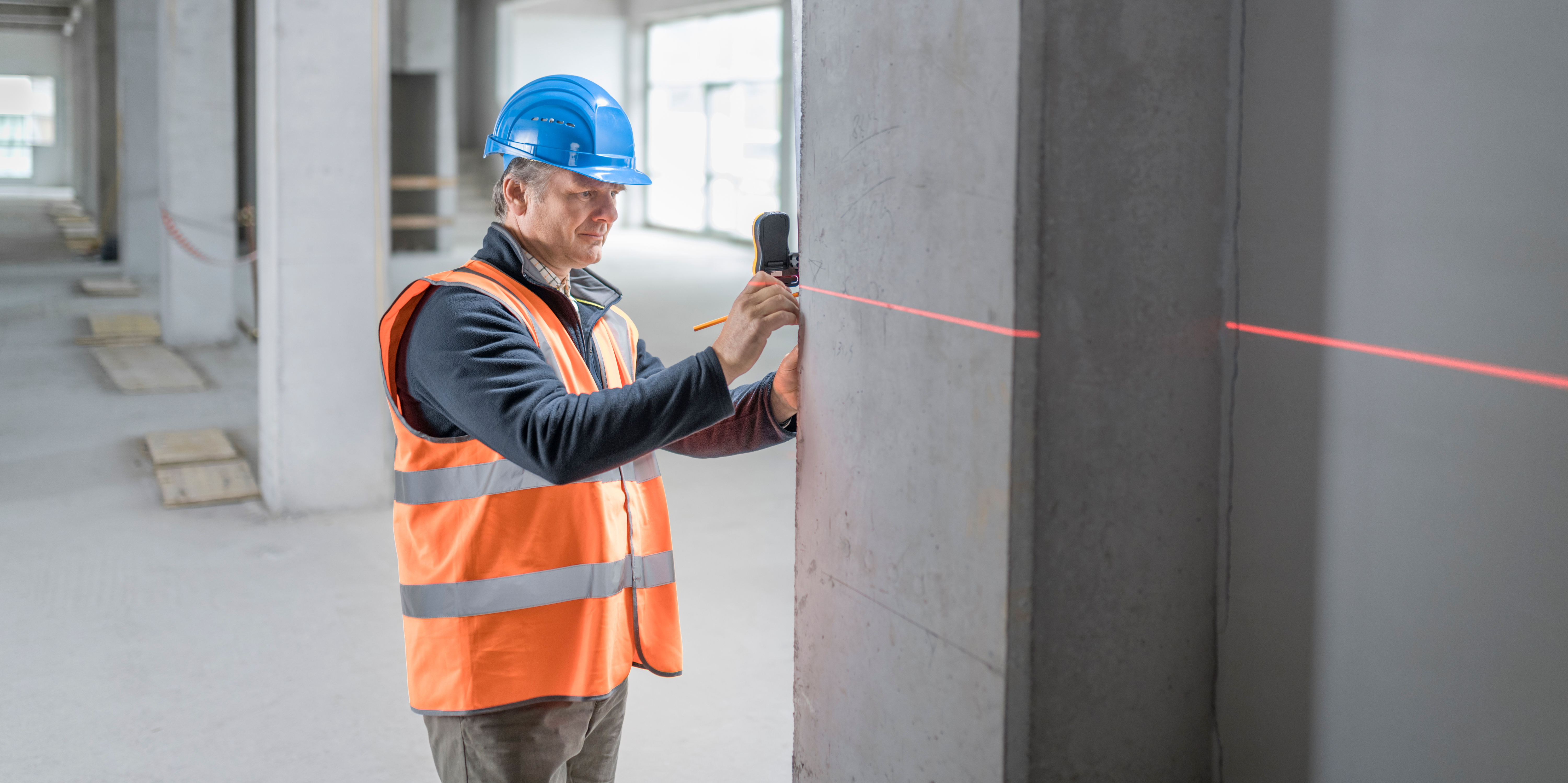
How Are Lasers Used in Surveying and Construction?
A laser level often makes it possible for a single person to perform leveling or grading tasks that would normally require two people using traditional manual tools. Three common uses for laser levels are leveling work sites, grading terrain or leveling floors.
Using a Laser To Level Ground
A rotary laser creates a 360-degree reference line across the site. Place the laser on a solid spot and level it manually or by using the level’s self-leveling function. Then follow these steps:
- Mount a laser beam detector on a survey rod. These beep when level with the laser.
- Start at a point matching the desired finish level. Adjust the detector height until it contacts the laser beam. The survey rod bottom now represents your ground-level target.
- Position the rod along pre-driven survey posts until the detector beeps. The rod bottom is grade level.
- Repeat this step across the site to create your ground-level survey.
Using a Laser for Slope Grading
Setting a specific slope for drainage or landscaping is easy using a laser level. Use either a single-slope laser or a dual-slope laser for compound grade calculations.
- Set the laser on firm ground and level it in all directions.
- Shoot level benchmarks for reference at a convenient distance.
- Adjust the aim of the beam in one or more axes as required to match your desired slope.
- Take samples for leveling using a detector on a survey rod at points across the site, and mark with survey posts.
How To Level Floors With a Laser
Whether you are building a new floor or re-leveling an existing floor, the procedure with a rotary or fixed laser is basically the same. Once the laser is set up and leveled, you take multiple measurements across the surface.